Chapter 33 of the International Building Code (IBC 2021) and the provisions of ASCE 7-22 set a strict framework for safeguarding excavations in Florida's complex subsurface environment. In Hialeah, the challenge is magnified by the Miami Oolite formation: a porous, vuggy limestone that can behave unpredictably from one block to the next. A standard visual inspection is never enough. The team here uses precision instrumentation to track lateral deformation, groundwater migration, and vibration impacts on adjacent structures, delivering a real-time picture of ground response throughout the construction cycle. For deeper cuts or sites near the Miami Canal levee system, this data becomes the basis for adjusting shoring sequences and dewatering rates before small movements escalate into costly claims or safety incidents. We often integrate the monitoring plan with a prior SPT drilling campaign, which establishes the baseline stratigraphy and identifies loose infill pockets within the limestone that demand closer surveillance during excavation.
Monitoring transforms excavation from a blind process into a controlled procedure where ground behavior is measured, not guessed.
Scope of work in Hialeah
Demonstration video
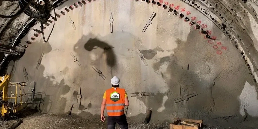
Typical technical challenges in Hialeah
Local contractors in Hialeah often erroneously believe that a high water table makes structural monitoring unnecessary; they set up a wellpoint dewatering system and assume no further risk exists. However, the Biscayne Aquifer transmits pressure changes quickly through the porous limestone, forming a cone of depression that can reach hundreds of feet beyond the site boundaries. This differential settlement appears weeks after excavation backfill, when homeowners notice stucco step cracks and misaligned door frames. Without defensible pre-construction condition surveys and continuous settlement monitoring, the contractor faces lawsuits lacking baseline data to prove pre-existing or unrelated damage. Another frequent oversight involves vibration monitoring during rock breaking near Hialeah's older utility corridors: 1950s cast-iron water mains and clay sewer laterals have near-zero tolerance for peak particle velocities above the USBM threshold, and a single unmonitored hammering session can cause a water main break that stops the entire project.
Our services
The monitoring plan is customized according to the excavation method, its depth, and how close it is to Hialeah's residential and commercial areas. Each scheme comprises instrument selection, baseline measurements, and automated alerts.
Structural Deformation & Crack Monitoring
Precise crack meters, tiltmeters, and optical prisms are installed on adjacent buildings inside the zone of influence. Existing defects are recorded via pre-construction condition surveys, while automated total station rounds capture sub-millimeter movements every hour. The data is compared to stage-excavation depths to confirm that wall deflections stay within the predicted envelope.
Subsurface Instrumentation & Inclinometers
Inclinometer casings are drilled and grouted behind the shoring wall to measure lateral displacement over the full retained height. Vibrating-wire piezometers monitor groundwater pressure changes during dewatering, notifying the superintendent if the hydraulic gradient becomes steeper than the safety factor assumed in the stability analysis.
Vibration & Seismic Monitoring
Triaxial geophones and seismographs are deployed to record peak particle velocity (PPV) and air overpressure during rock breaking, pile driving, or compaction. Threshold alarms are set according to USBM RI 8507 and FDOT specifications, with instant alerts if readings approach the limits for nearby utilities or historic structures.
Frequently asked questions
When is geotechnical excavation monitoring mandatory in Hialeah?
According to IBC 2021 Chapter 33, monitoring is mandatory for excavations deeper than 6 meters (20 feet) or when existing adjacent structures lie within the zone of influence. Hialeah's Building Department additionally enforces monitoring for any excavation that drops the water table within 200 feet of a property boundary, owing to the Miami Oolite formation's vulnerability to dewatering-induced settlement.
What instruments are typically used for a deep excavation in limestone?
In Hialeah's oolitic limestone, a typical monitoring array consists of automated total stations with optical prisms for surface movement, in-place inclinometers to track shoring wall deflection with depth, vibrating-wire piezometers for groundwater pressure, and triaxial geophones for vibrations. Crack meters are added to any masonry structure located within the settlement trough predicted by the geotechnical report.
How much does a geotechnical excavation monitoring plan cost?
A full monitoring program in Hialeah generally costs from US$800 for a short-term, single-structure crack monitoring setup up to US$2,840 for comprehensive instrumentation that includes inclinometers, piezometers, automated total station surveys, and vibration monitoring over a multi-month excavation period. The ultimate cost is determined by excavation depth, count of adjacent structures, and required reporting frequency.
How long must monitoring continue after excavation is backfilled?
Monitoring should continue until settlement rates drop below 0.5 mm per month for at least two consecutive readings, which in Hialeah's limestone typically requires four to eight weeks post-backfill. If dewatering is terminated abruptly, a rebound monitoring period of at least two weeks is necessary to confirm that groundwater recovery is not causing heave or swelling in the re-saturated soil layers. More info.